Hey everyone today we are headed out to Brasstown Bald to celebrate Appalachian Trail Days! Along the way, we found some interesting things and places we would love to share with you.
Highway 17
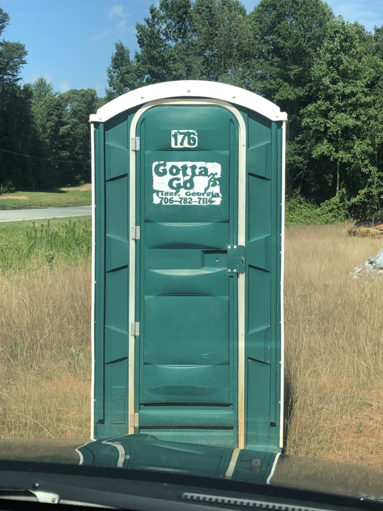
While traveling Hwy 17 from Clarkesville, ga we ran into two very friendly scarecrows just hanging by the side of the road. We stopped to say hi. We’re not sure why but there was a portable toilet next to the field they were in. Guess we all “gotta go.”

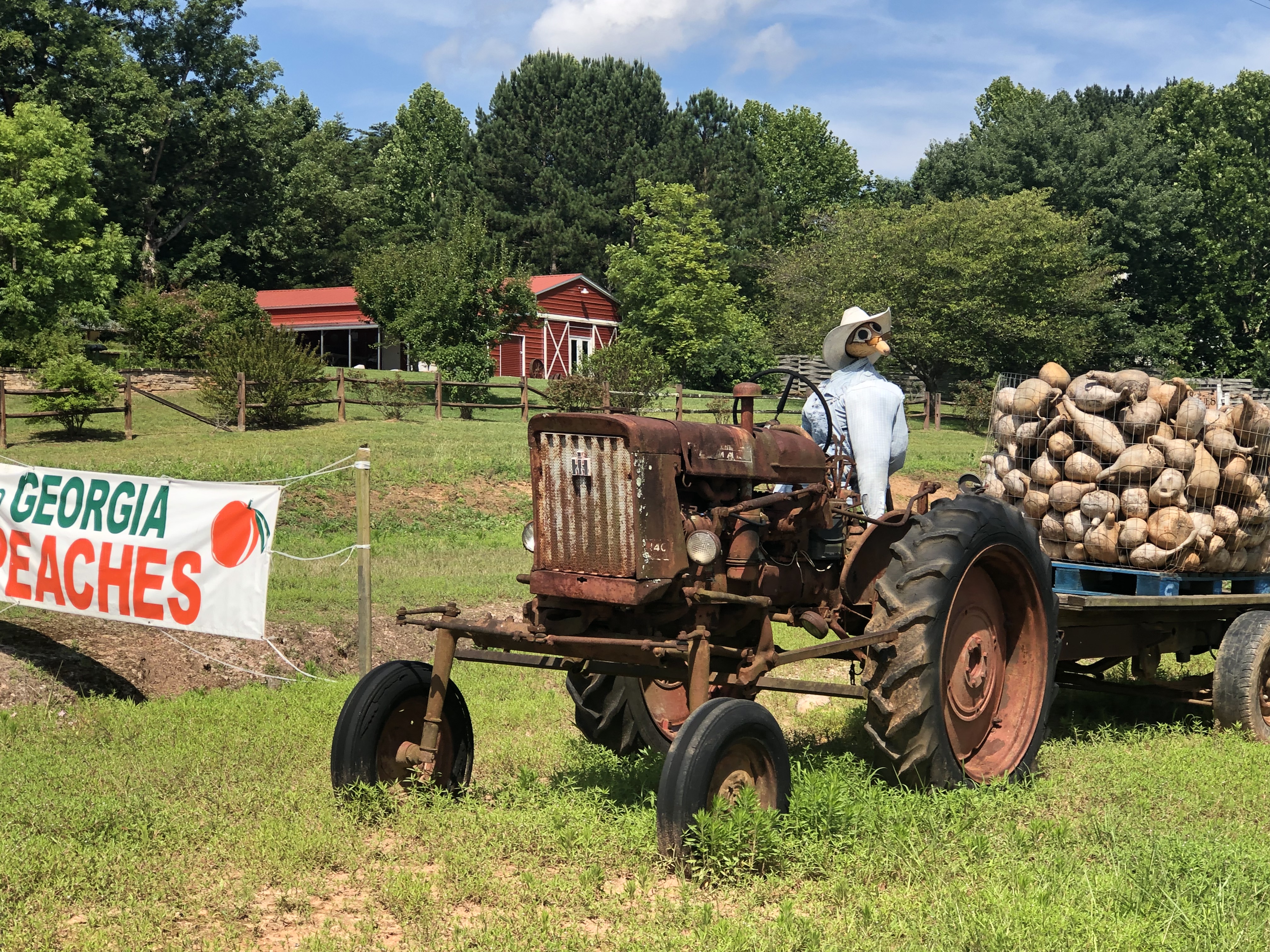
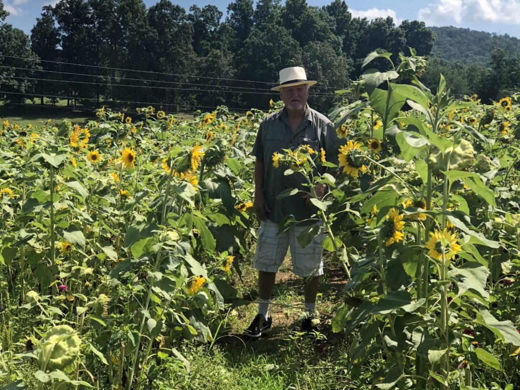
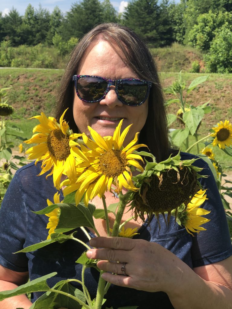
Down the road a little way we found a cute little roadside vegetable stand where Mr. Gourd head resides in the sunflower valley.
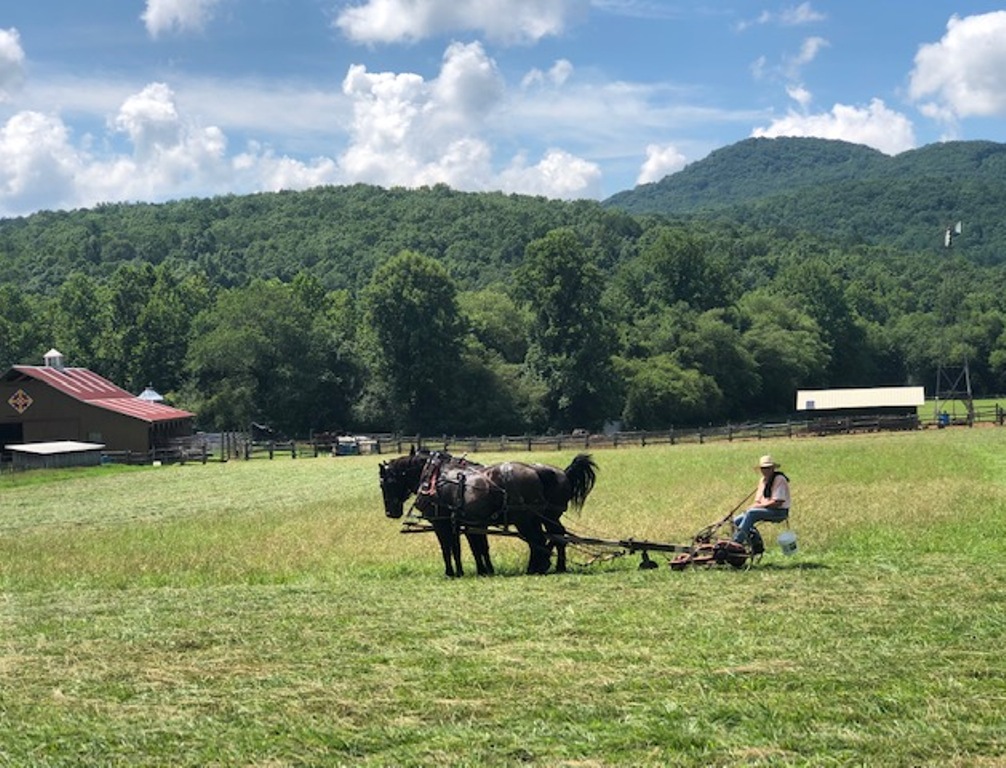
Continuing on Hwy 17 we traveled into Sautee Nachoochee Valley. Here we came across an Amish farmer cutting hay the old fashion way with a Horse-drawn mower. We stopped and passed some time with the farmer.
Nacoochee Indian Mound
At the corner of Hwy 17 and 75 Sautee, GA is the Nacoochee Indian Mound “The local Lovers Leap”.
The legend states that it came about as part of a Romeo and Juliet type story. The story goes that Sautee, a warrior from the Chickasaw tribe and Nacoochee, the daughter of a Cherokee chief, met one day while they were both exploring the woods separately and fell in love. Being from different tribes their love was forbidden so they ran away to Yonah Mountain. A few miles away with the hopes that their fathers would not find them. Nocoochee’s father discovered this out, found them, and ordered Sautee thrown from the top of the mountain while his daughter watched. Devastated, Nacoochee decided she’d rather die than be without Sautee so she jumped to her death as well. At the base of the mountain, it is said that they embraced one final time before they both passed on. The chief realized his grave mistake, buried them in what is now known as the Indian Mounds.
The Nacoochee Mound is located in White County, Georgia, two miles south of Helen on property belonging to the L.C. Hardman Estate. Dr. Hardman was a former Governor of the State of Georgia. During the summer of 1980, Nacoochee Valley was added to the National Register of Historic Places.


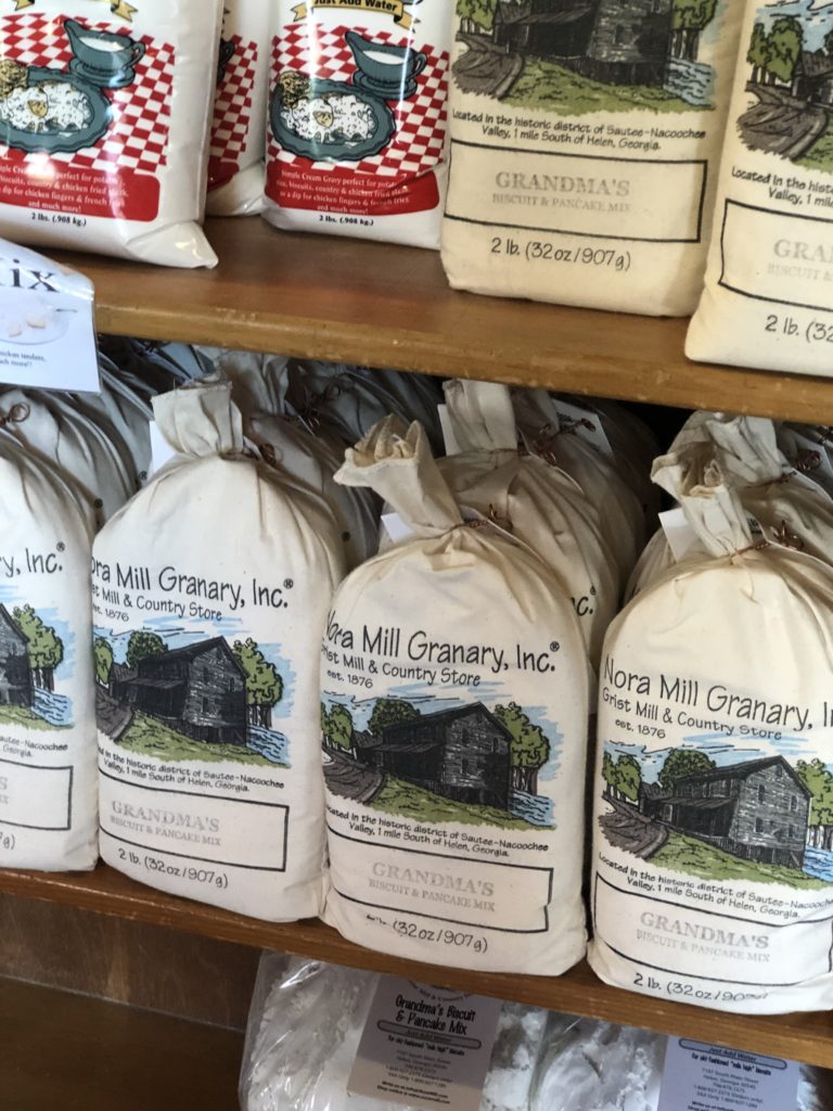
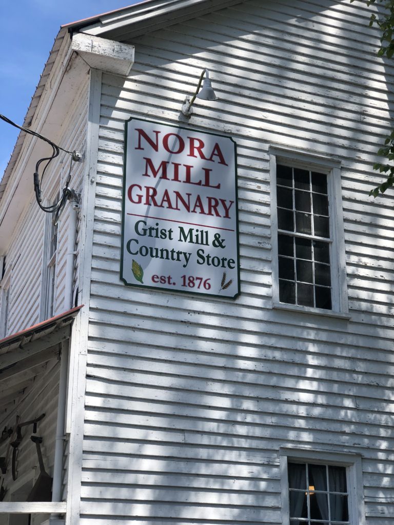
Nora Mill Granary
Established in 1876, Nora Mill Granary is an operational gristmill sitting alongside the Chattahoochee River in the foothills of the North Georgia Mountains. At Nora Mill, they utilize the original 1,500 pound French Burr Stones to grind and produce all kinds of corn and wheat-based products. Such as grits, cornmeal, pancake and waffle mixes, flours, biscuit & bread mixes, pioneer’s porridge, and the like. In addition, they have an old-fashioned country store. Here you can sample and purchase items. One of my favorites is the yellow corn grits. visit their website to purchase items. https://shop.noramill.com/main.sc

Mondays
On the outskirts of Helen is a little hole in the wall Bar called Monday’s. We had to stop in and to quench our thirst and visit with our favorite bartender Shelly and the locals.

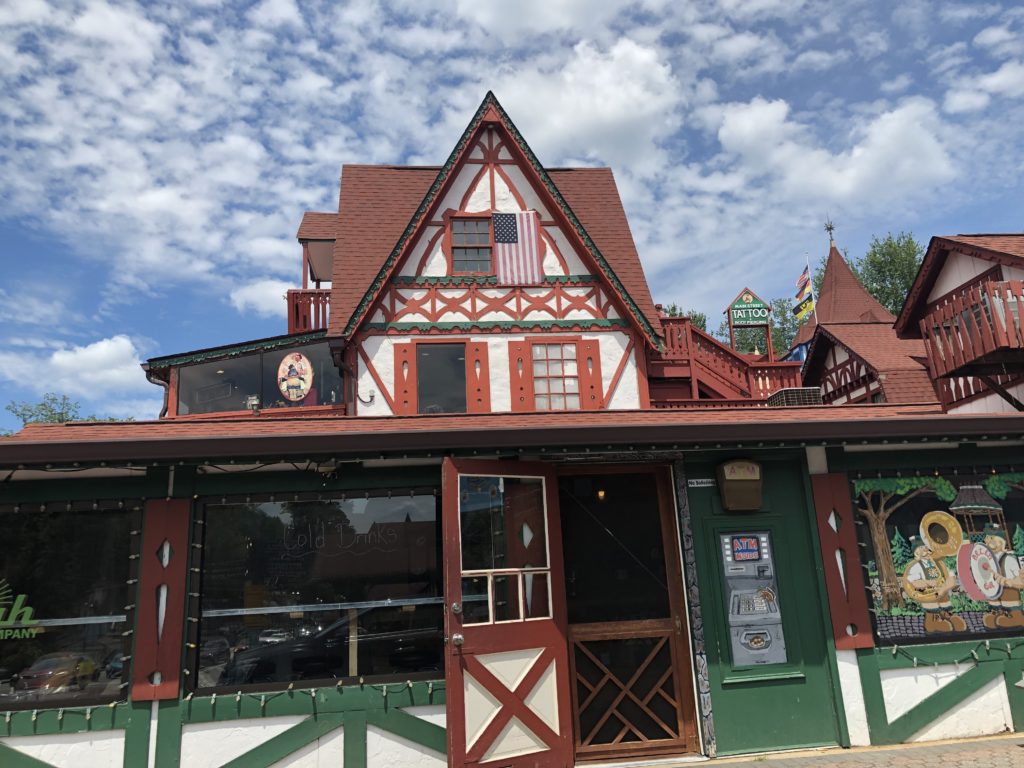
Helen GA
If you have never been to Helen you must put it on your list of things to see. A re-creation of a Bavarian Alpine village, complete with cobblestone streets. Helen has more than 200 specialty and import shops offering everything from candle making and glass blowing to cuckoo clocks and quilts. Dining options range from traditional German fare to traditional Southern. The smells and sights will delight your senses.
The Chattahoochee River flows gently through Helen and is a popular location for spending an afternoon floating lazily down the river.
Recreation is in abundance with fly-fishing, golfing, horseback riding, tubing, and paddling. Attractions include Charlemagne’s Kingdom, Scarlet’s Secret, the Russell-Brasstown Scenic Byway and waterfalls.


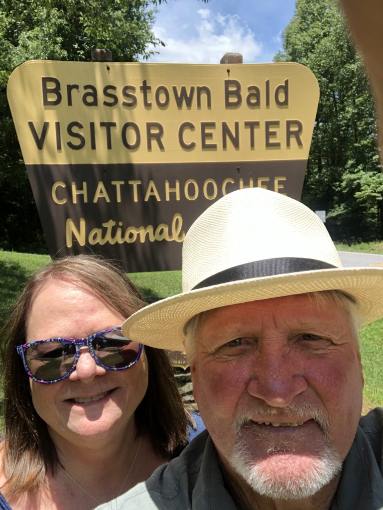
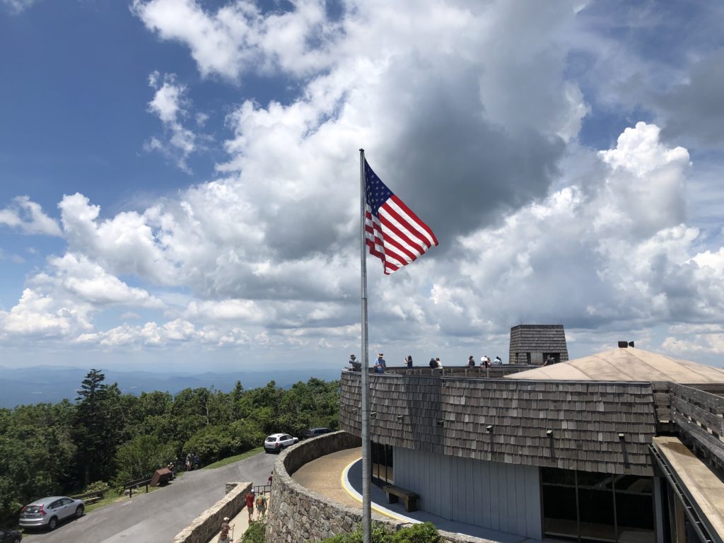
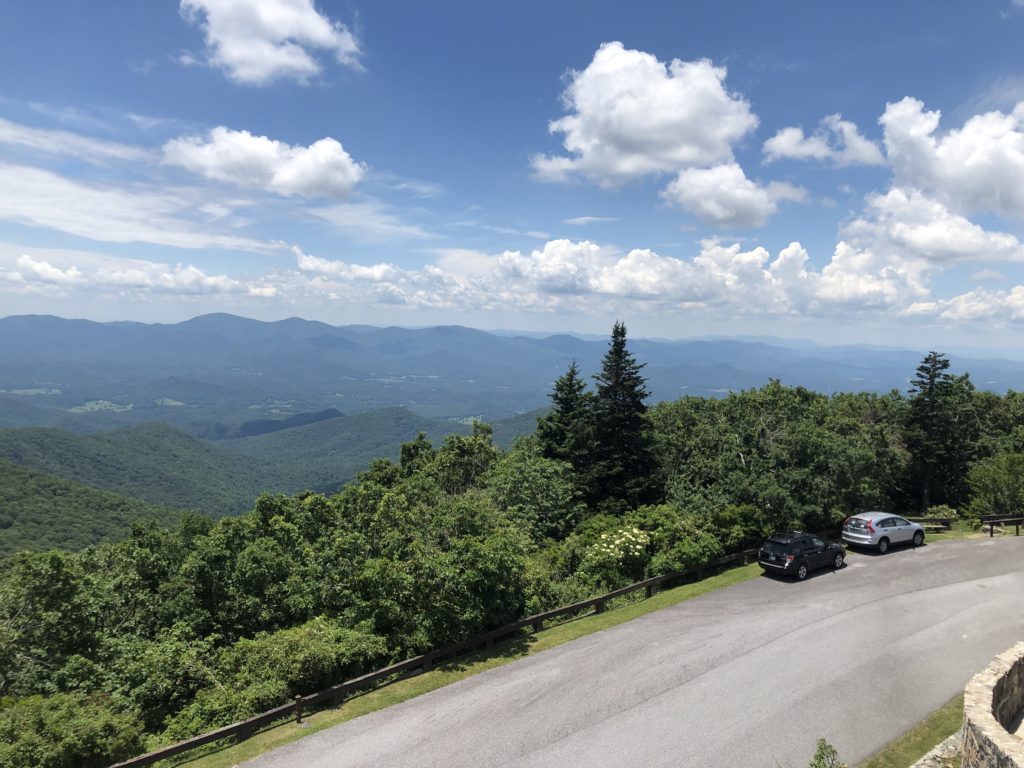
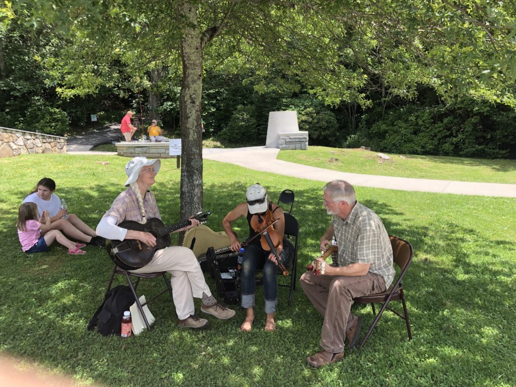
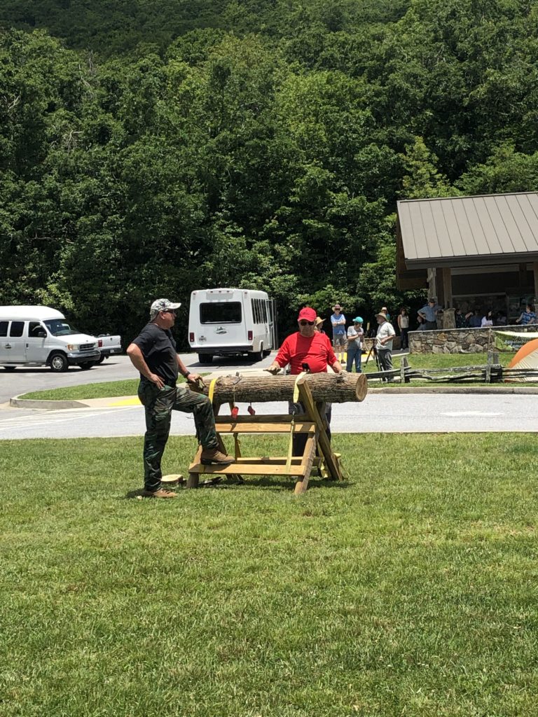
To the Top of Brasstown Bald
From Helen, we had a short drive up the mountain to Brasstown Bald the highest point in the state of Georgia. Here we listened to a local band the PB & J group. Did the mini-hike up to the observation deck which offers a spectacular 360° view of the surrounding area, including four states (GA, TN, NC, & SC) and if you’re lucky, the skyline of Atlanta!

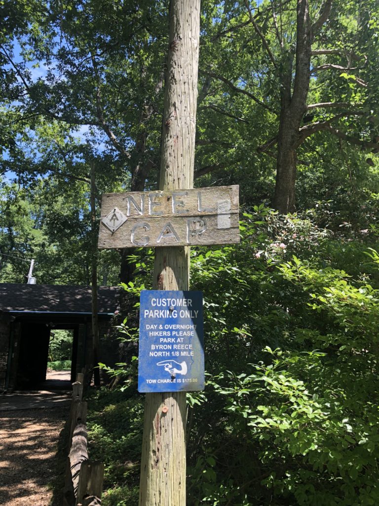
Neels Gap
Neel Gap is a divide along the Blue Ridge Mountains at the base of the Frogtown Creek and is the hiker’s supply and rest area along the AT. It’s always fun to visit with the hikers here and hear the stories of their travels. If you feel adventurous from here you can take a day or overnight hike up to Blood mountain along the AT.
At 4,458 feet, Blood Mountain is the highest point along the AT in Georgia. Don’t let the name scare you — it’s likely derived from a Native American battle or a red lichen that grows at the top.
A perfect 4.3-mile round trip day hike (short, but steep) is to head up the Byron Reece Trail to the AT and then continue to the summit. You’re guaranteed to break a sweat, and for nature photographers, the views are among the best in Georgia.
Overnight and shuttle options include hiking the 10.5 miles between Woody Gap (at State Route 60) and the Byron Reece Trail parking area, or a 17-mile trip from Woody Gap to Hog Pen Gap (trail crossing along State Route 348 — also known as the Russell-Brasstown Scenic Byway).


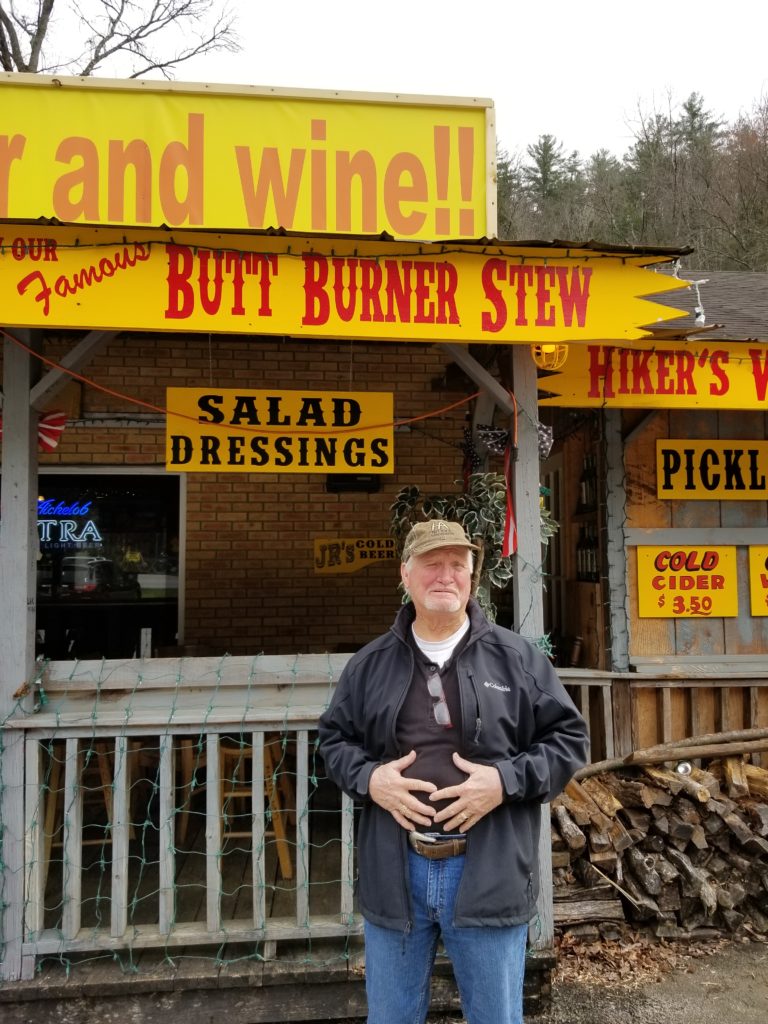
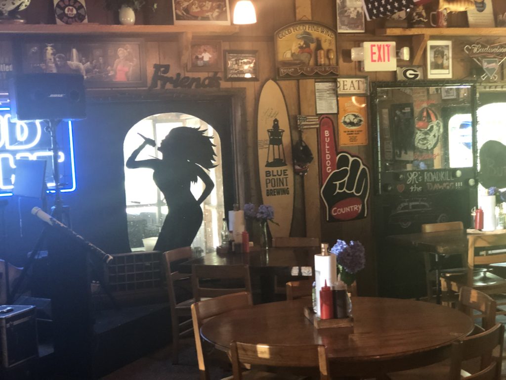
JR’s Road Kill BBQ & Ribs
When you leave Neal’s Gap a short drive down the road you will run into JR’s Road Kill BBQ & Ribs. Your day would not be complete without a bowl of their butt burner stew. They have a country store where you can purchase homemade items such as jellies, pickles. Check them out on Facebook.


?


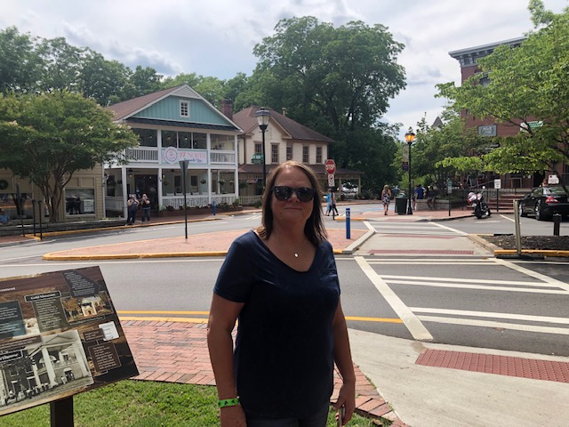
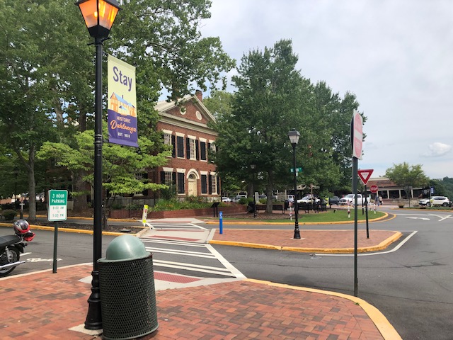
Dahlenoga GA
Our last stop of the day is Dahlenoga Ga. Site of the first major U.S. Gold Rush and the Heart of Georgia Wine Country. Dahlonega offers an authentic, mountain getaway only an hour north of Atlanta. Downtown Dahlonega offers shopping, wine tasting, the Gold Museum, and on the weekends you can listen to local music in the streets. Visit Consolidated Gold Mine for a tour of an underground mine from around 1900. Check out the Tasting rooms offering wines from regional vineyards, Waterfalls, including towering Amicalola Falls.
Appalachian Trail
For a more adventurest day take a hike on Springer Mountain located just a short distance from Dahlonega. Springer Mountain may be Georgia’s most famous mountain, due to its position as the southern terminus of the AT since 1958. It has served as the starting point for countless adventures and as a celebratory finale for those completing the Appalachian Trail 2,200-mile hike to Mount Katahdin in Maine. Day hikers have two options to summit Springer. Just under a mile into the AT, the trail crosses Forest Service Road 42, making for an easy 2-mile up-and-back to the summit. Most hikers, however, begin at Amicalola Falls State Park, where an 8.5-mile approach trail to Springer provides the first test to long-distance hikers setting out on their journey. Many pounds of gear is shed along this trail before hikers even reach the actual AT.
For a relatively easy overnight trip, hike out and back from Amicalola and camp at the Black Gap shelter, located 6.2 miles into the approach trail. Or, arrange a pickup or drop a car, and hike out to Road 42 for a comfortable one-way 9.4-mile day hike.
Lunch
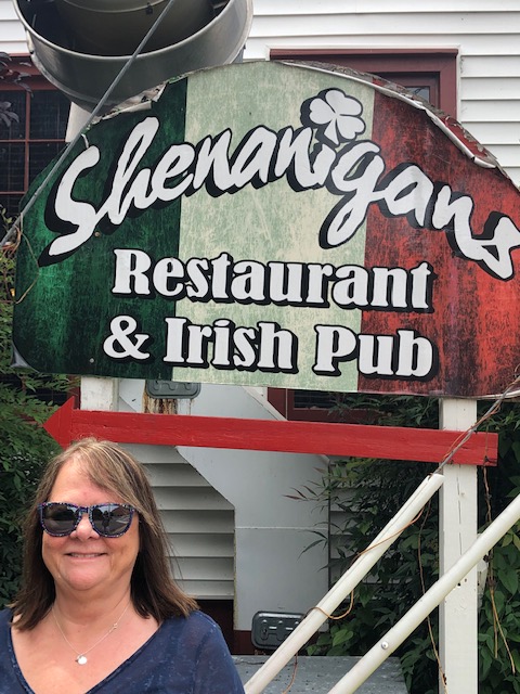
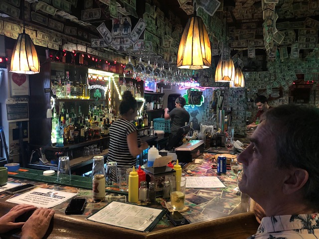
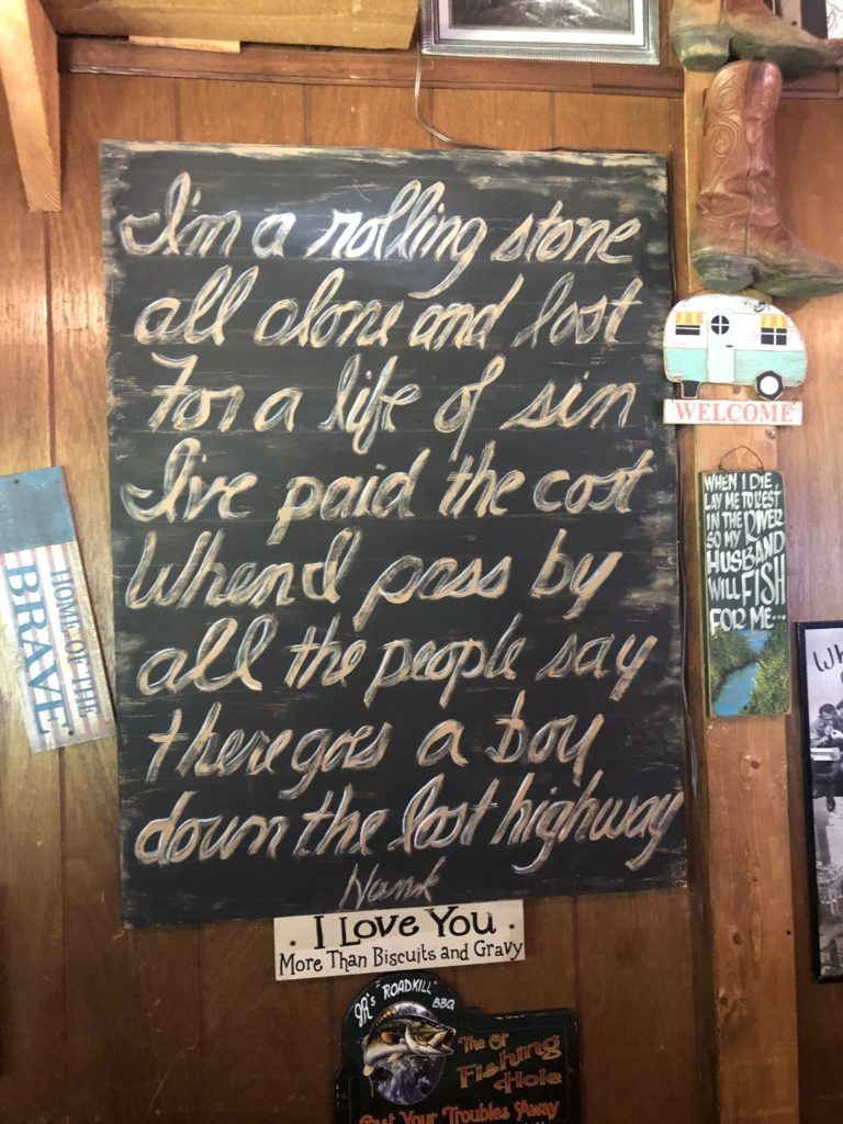
Before we ended our day we stopped at Shenanigans Restaurant and Irish Pub for a quick bite.
Then it’s home after a long adventurous day. We spent an entire day exploring for under 50.00. Not bad!

Post your comment